There is no fresh water at Finsley Gate Wharf as the mains supply is disconnected and the canal is clearly an unpotable option (its waters a medium for travel but never for satisfying thirst or for washing).
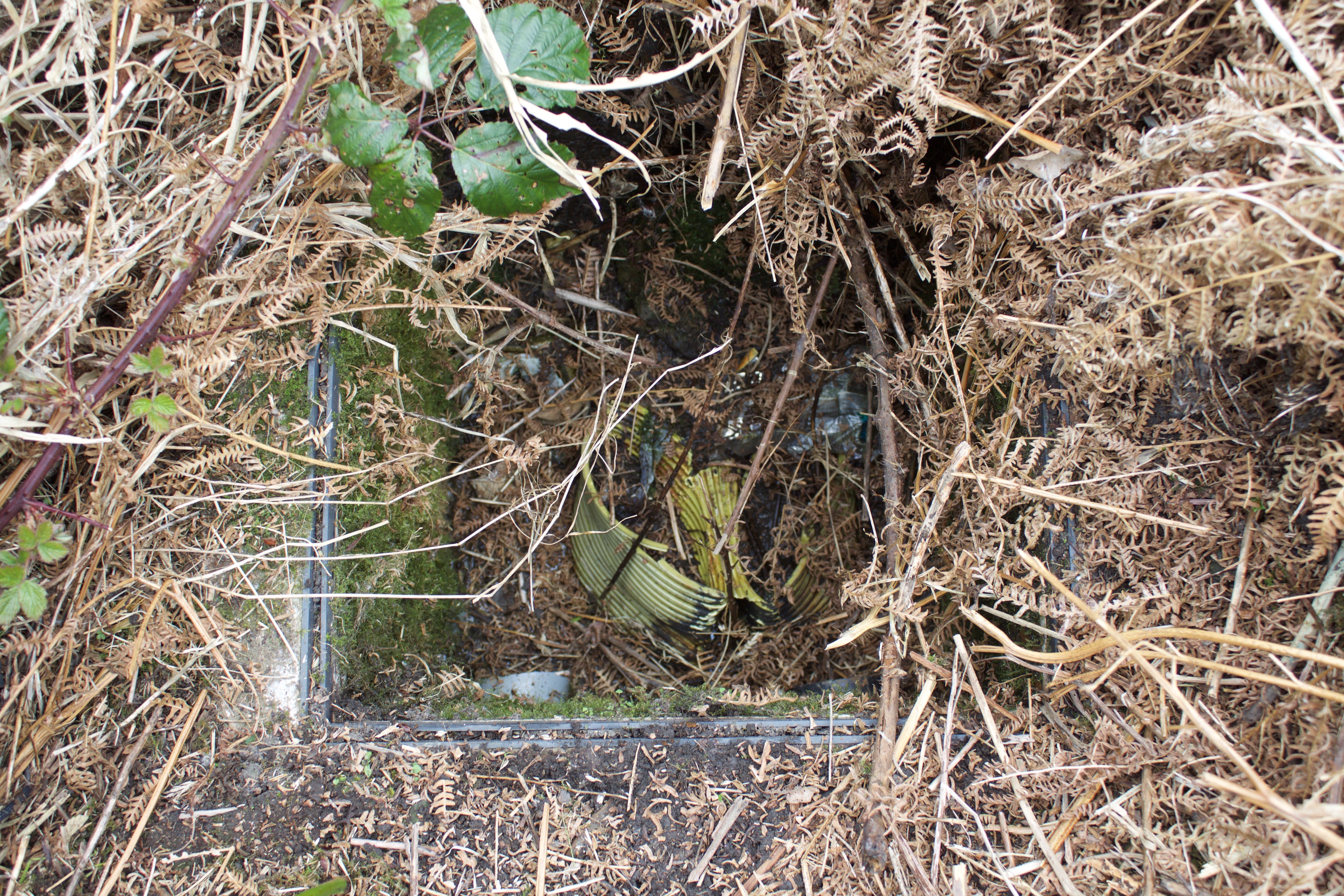
Yet a map from the early Nineteenth Century shows a well tucked away in the south west corner of the site, that has been progressively lost to each successive survey of the land. In a map of the 1890s it appears as a small pond, but is gone from recent cartographic record. I decided to venture out and see if there was any trace still to be found. After much clambering about in dead ferns and creeping bramble and continually on the watch for assorted sharps, I found the well head.
Its waters now greet the surface through a cast concrete rectangle, designed to take the customary sort of ‘manhole’ covers found on municipal drains. There is something saddening about the site of a spring of pure water, reduced to being a sump for run off from the nearby warehouse – and then casually disregarded and forgotten with the dereliction of closure: and when this well was the loci for local life in the first place.
The three maps are from MARIO (Maps & Related Information Online) – Lancashire County Council’s interactive mapping website at http://mario.lancashire.gov.uk